Excursion location information | Maps and risk assessments | Field of Mars EEC
Use this page to find planning information for excursion locations used by Field of Mars Environmental Education Centre.
Each location page includes maps, risk assessment and risk management advice, bus or public transport access details, meeting points, walking routes and site-specific information for teachers and school organisers.
Check the relevant location page before your visit and share key arrival, supervision and safety information with all attending teachers.
Jump to: Bushland locations | Urban locations | Incursion locations | Ready to visit?
Bushland locations
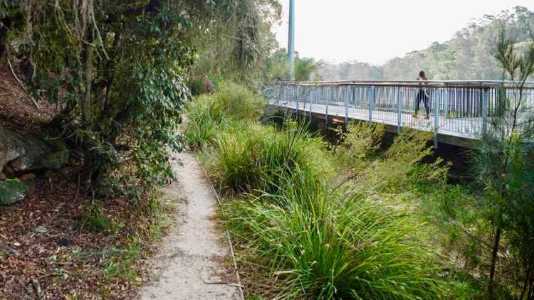
Blackman Park
Location information for Blackman Park, including maps, risk assessment and risk management advice, bus access, meeting points and walking routes.
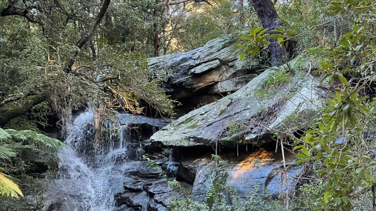
Boronia Park
Location information for Boronia Park, including maps, risk assessment and risk management advice, bus access, meeting points and bush track information.
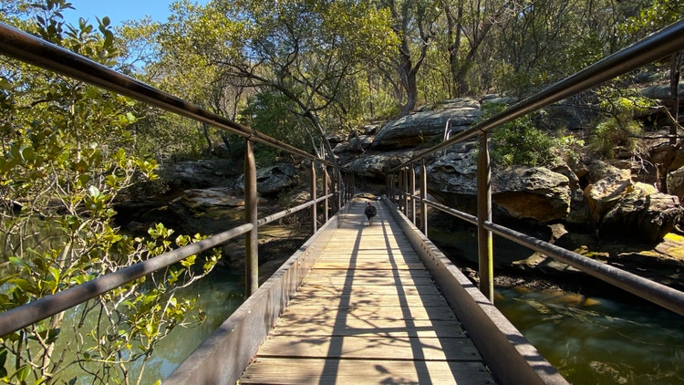
Buffalo Creek Reserve
Location information for Buffalo Creek Reserve, including maps, risk assessment and risk management advice, bus access, meeting points, bush tracks and foreshore access.s.
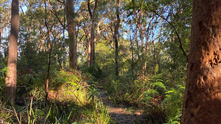
Field of Mars Reserve
Location information for Field of Mars Reserve, including maps, risk assessment and risk management advice, bus access, meeting points, toilets and bush track information.
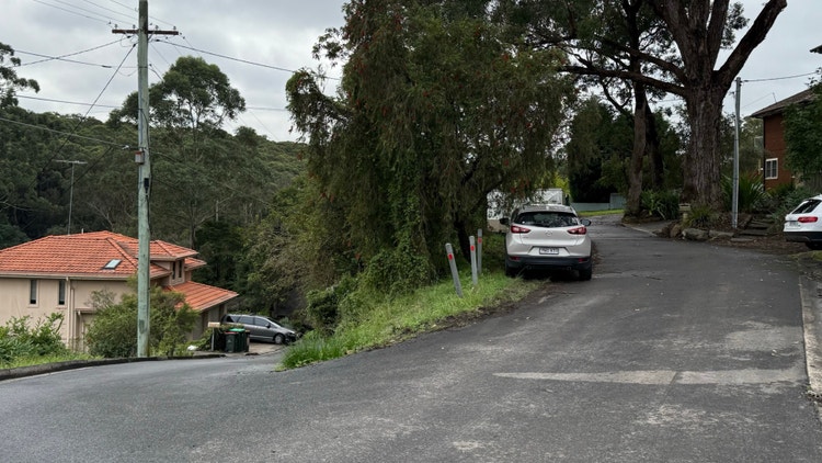
Westminster Road entrance
Alternate entrance information for Field of Mars Reserve via Westminster Road, including maps, vehicle access, drop-off details and parking advice.
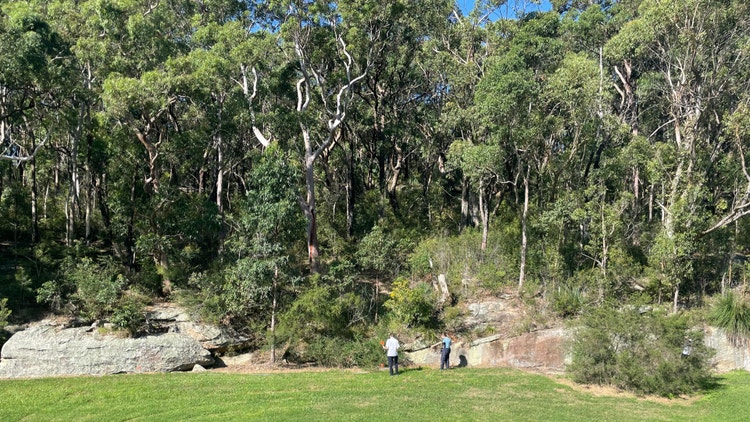
Magdala Park
Location information for Magdala Park, including maps, risk assessment and risk management advice, bus access, meeting points and nearby bushland and river study areas.
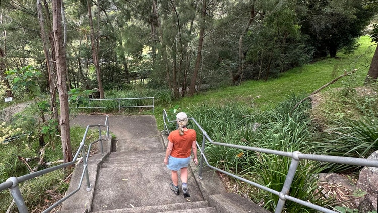
Rotary Athletics Field
Location information for Rotary Athletics Field, including maps, risk assessment and risk management advice, bus access, meeting points and nearby track information.
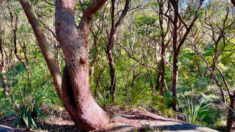
STEP track
Location information for the STEP track, including maps, risk assessment and risk management advice, bus access, meeting points and bush track information.
Urban locations
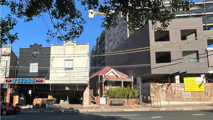
Marrickville
Location information for Marrickville fieldwork sites, including maps, risk assessment and risk management advice, public transport options, bus access and urban geography meeting points.
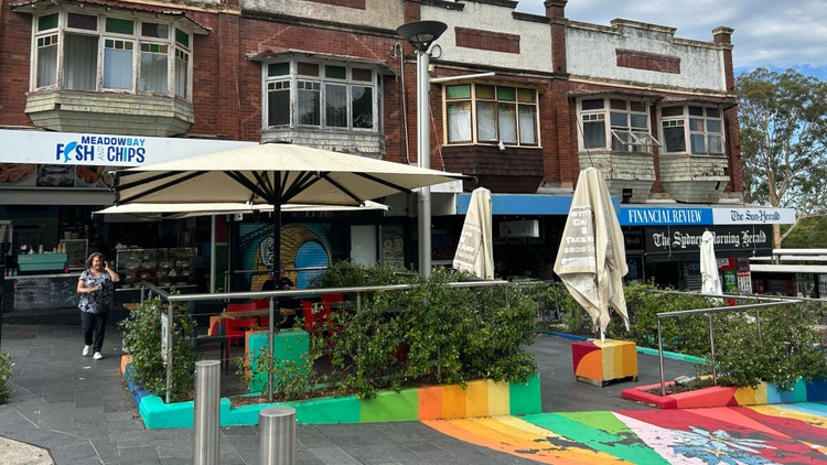
Meadowbank station
Location information for Meadowbank Station, including maps, risk assessment and risk management advice, public transport options, bus access and meeting point details.
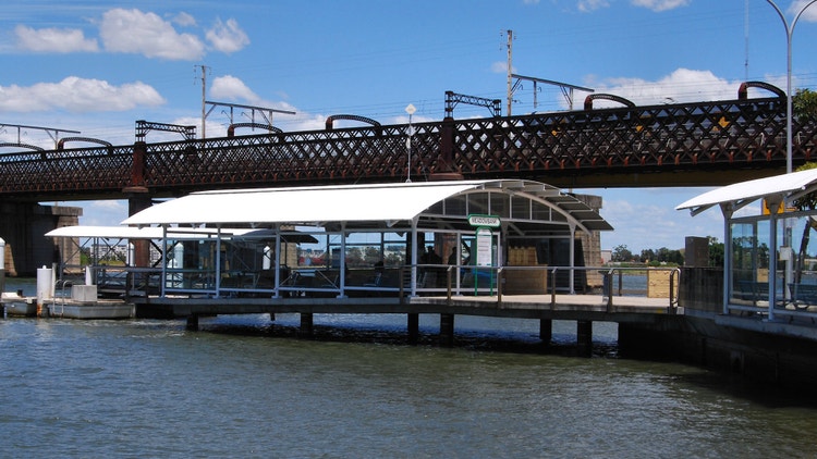
Meadowbank wharf
Location information for Meadowbank Wharf, including maps, risk assessment and risk management advice, public transport options, bus access and meeting point details.
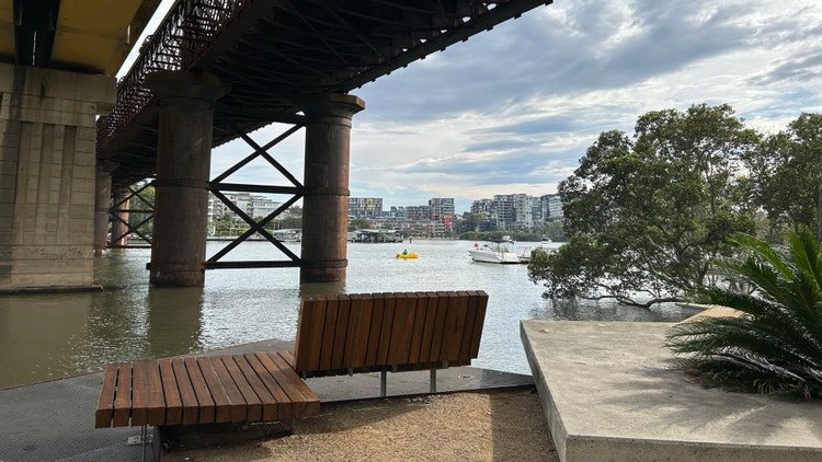
Mill Park
Location information for Mill Park, including maps, risk assessment and risk management advice, public transport options, bus access and fieldwork areas.
Incursion locations

School incursions
Planning information for incursions delivered at your school, including learning spaces, accessibility, risk management and staff access.
Ready to visit?
Learning programs
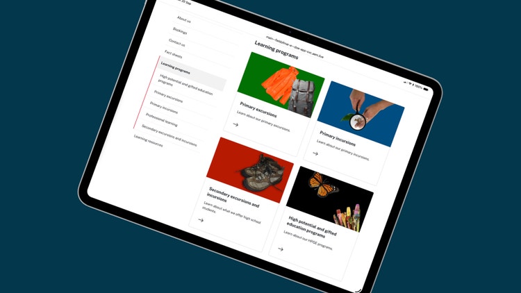
Explore primary, secondary, HPGE and professional learning programs that use these locations.
Fact sheets
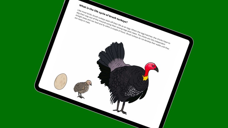
Read animal, plant, habitat, ecosystem and environment fact sheets to support classroom learning before or after your visit.