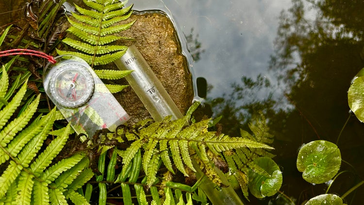
Water in the world excursion | Stage 4 Geography
Program overview
Water in the world is a Stage 4 Geography excursion along the Lane Cove River where students investigate hydrological processes, water resources and river health within a local urban catchment. Students use maps, field observations and practical experiments to examine how topography, slope, surface cover and urbanisation influence infiltration, runoff and water movement.
Students collect and interpret water-quality data, investigate how people value water and explore Aboriginal Peoples’ cultural and spiritual connections to water Country. They evaluate catchment management strategies and use field evidence to propose actions that support sustainable waterways and water resources.
Fieldwork inquiry
- What hydrological processes move water through a catchment?
- What factors influence water flows into the Lane Cove River?
- How do people value water today and in the past?
- What strategies can be used to manage catchment areas for sustainability?
Jump to: Program and curriculum | Essential information | Prepare for fieldwork | Location | Extend learning | Related programs


Program and curriculum information
Fieldwork activities
Activities may change to suit student needs, timing and weather conditions.
Catchment mapping and field sketch
Students use topographic maps to locate the Lane Cove River catchment and identify natural features, built features, slopes and likely water-flow paths. They complete a structured field sketch that communicates how runoff, infiltration and river flow connect different parts of the catchment.
Infiltration and runoff
Students conduct practical field experiments to compare infiltration and runoff across different surface types and slopes. They analyse how urban development and impermeable surfaces can increase stormwater runoff, influence flooding risk and affect water quality.
Values of water Country
Students complete a silent sit spot to record visual, sound and emotional evidence of the Lane Cove River’s aesthetic value. They investigate the cultural and spiritual significance of Durumbura Dhurabung and examine sustainable Aboriginal technologies used to obtain food from water Country, explaining how these Practices demonstrate care for Country.
Water quality and catchment management
Students use fieldwork equipment to measure turbidity, phosphate and dissolved oxygen and interpret what their results indicate about catchment health. They identify management strategies such as vegetation buffers and stormwater controls, evaluate their effectiveness and propose actions that support sustainable catchment management.
Worksheet and supporting resources
Student worksheet
Secondary worksheets are password protected and available to teachers after booking. Contact Field of Mars EEC to request the password.
Download the Stage 4 Water in the world worksheet.
Schools are responsible for printing one worksheet for each student before the excursion.
Ensure that the correct worksheet has been printed for your excursion start location.
Teacher and student resources
View the Fieldwork techniques learning resource.
Suggested timetable
Time |
Activities |
| 9.30–10.00 | Introduction and fieldwork preparation at the starting location; food break and toilets |
| 10.00–12.00 | Bushwalk and fieldwork activities |
| 12.00–12.30 | Food break beside the Lane Cove River |
| 12.30–2.00 | Bushwalk and fieldwork activities |
| 2.00–2.15 | Arrive at the finishing location; conclusion, food break, toilets and departure |
The timetable may change according to walking route, class numbers, student learning needs and weather.
Syllabus outcomes and content
Students will learn to
- explain hydrological processes that move water through a catchment
- use topographic maps and field observations to identify catchment features and water-flow paths
- distinguish natural and human water features
- investigate how slope, surface cover and urban development influence infiltration and runoff
- explain how urbanisation can affect stormwater runoff, flooding risk and water quality
- use geographical fieldwork equipment to collect and interpret water-quality data
- compare water-quality results with healthy indicator ranges
- explain how land use, stormwater and catchment processes affect river health
- investigate the aesthetic, cultural and spiritual value of water
- explain how Aboriginal Peoples’ sustainable technologies demonstrate care for water Country
- evaluate strategies used to manage catchment areas sustainably
- create written descriptions, explanations and recommendations using geographical evidence and terminology
NSW Geography 7–10 Syllabus (2024)
Focus area
Water in the world
Outcomes
- GE4-DFC-01 – locates the diverse features and describes the characteristics of a range of places and environments
- GE4-PRI-01 – explains the processes and interactions that change people, places and environments
- GE4-MAN-01 – explains the management and protection of places and environments
- GE4-APC-01 – explains Aboriginal Peoples’ Custodianship, care and management of Country
- GE4-TAP-01 – selects and uses geographical tools to acquire and process geographical information
- GE4-COM-01 – uses concepts and terminology to communicate geographical information for a range of purposes, audiences and contexts
Content
Thinking and working geographically
- Use relevant geographical concepts
- Engage in geographical inquiry using geographical information
- Use relevant geographical tools
- Create written texts to describe and explain geographical processes associated with water in the world
Water resources and their value
- Hydrological processes that move water through a catchment area
- Factors influencing water flows
- The cultural, spiritual and aesthetic value of water
Water scarcity and water management
- Methods used by Aboriginal Peoples to manage and care for water Country
- Strategies to manage catchment areas for sustainability
Geography 7–10 Syllabus (2024) © NSW Education Standards Authority for and on behalf of the Crown in right of the State of New South Wales, 2024.
Vocabulary
Essential information
Cost, class numbers and booking
Cost
DoE $27 per student – GST free
Non-government school $37 per student – GST free, minimum charge $750 per class
Classes
Maximum 8 classes, with up to 30 students per class.
A maximum of 4 classes use each walking route. Routes and starting locations are allocated according to the number of participating classes.
Program costs
Program costs may change. If program costs change after you book, you will be charged at the original cost.
Booking policy
Confirm final student numbers and classes 7 working school days before the program.
Risk assessment, route and accessibility
Access the risk assessment and location information for the assigned starting and finishing locations:
- Magdala Park risk assessment and location information
- Buffalo Creek Reserve risk assessment and location information
- Boronia Park risk assessment and location information
This excursion involves a one-way walk along a section of the Great North Walk. Start and finish locations depend on the number of classes attending. Contact Field of Mars EEC before arranging transport if you require assistance planning your route.
The program involves extended bushwalking on uneven natural tracks, sandstone steps and boardwalks. The walking routes are not wheelchair accessible.
Students who are unwell should not attend.
Classroom teachers are expected to attend and actively supervise students throughout the excursion.
Notify Field of Mars EEC before the visit about medical, mobility, sensory, communication or other support needs so reasonable adjustments and route suitability can be considered.
What to bring and prepare
School preparation
- Download and print the correct worksheet for each student
- Confirm the allocated starting location and walking route
- Organise students into suitable working groups
- Ensure students bring writing materials and a clipboard
- Review relevant fieldwork techniques and supporting resources
- Advise Field of Mars EEC of learning, medical or access requirements
- Confirm whether students are permitted to use mobile devices for fieldwork
Students should bring
School sports uniform, backpack, medication, low-waste food, full water bottle, sunscreen, raincoat, hat, sturdy enclosed shoes, pencils, clipboard and a reusable name tag.
Students may also require a charged mobile device for photography, mapping or data collection. Teachers should notify Field of Mars EEC before the excursion if student devices are not permitted.
Weather, cancellations and rescheduling
The program may be modified, postponed or cancelled because of predicted extreme temperatures, bush fire danger, heavy rainfall, high winds or dust storms.
Cancellation or rescheduling with less than 30 school days’ notice before the booking date – $650
Cancellation with less than 14 school days’ notice before the booking date – full program cost
Cancellation due to unsafe weather or fire danger – $0
Prepare for secondary fieldwork

Preparing for your excursion
Find information about clothing, equipment, transport, arrival procedures, safety and preparing students for outdoor fieldwork.
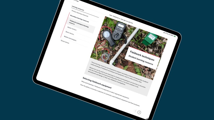
Fieldwork techniques
Help students prepare to use maps, field sketches, observations, geographical tools and field data-recording techniques.
Locations
Start and finish locations
This excursion involves a one-way walk along a section of the Great North Walk. Walking routes and starting locations depend on the number of classes attending.
Schools should confirm their allocated route and provide all attending teachers and transport providers with the relevant location information. Contact Field of Mars EEC for planning assistance.
Walking route |
Locations |
Central walk (main route) - up to 4 classes |
2 classes Finish – Buffalo Creek Reserve 2 classes |
Southern walk (additional route) - up to 4 classes |
2 classes Finish – Buffalo Creek Reserve 2 classes |
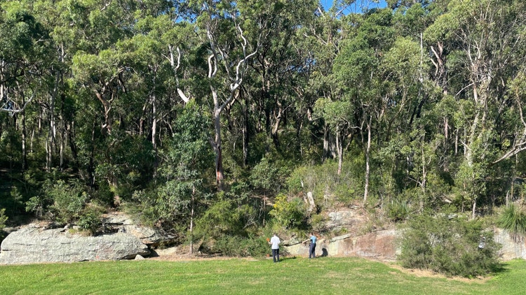
Magdala Park
Central walking route
Find risk assessment information, risk management advice, bus access details and walking track information for Magdala Park.
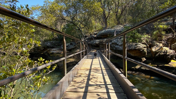
Buffalo Creek Reserve
Central and southern walking routes
Find risk assessment information, risk management advice, bus access details and walking track information for Buffalo Creek Reserve.
Boronia Park
Southern walking route
Find risk assessment information, risk management advice, bus access details and walking track information for Boronia Park.
Extend student learning
Use these student-friendly fact sheets before or after your Water in the world excursion to support learning about catchments, water resources, water quality, runoff and river management.
- River and creek environment fact sheet – Learn about flowing water environments, creek banks, water movement, plants, animals and catchment connections.
- Water habitats fact sheet – Explore ponds, creeks, wetlands and damp places that support aquatic plants and animals.
- Estuary environments fact sheet – Learn how freshwater and saltwater mix in estuaries and support connected food webs.
- Mangrove forest ecosystem fact sheet – Discover tidal mud, mangrove roots, seedlings, crabs, fish nurseries and estuary food chains.
- Grey mangrove fact sheet – Learn about a salt-tolerant tree with breathing roots that grows along sheltered tidal waterways.
- Semaphore crab fact sheet – Explore a small crab that lives on muddy tidal flats and mangrove edges.
Learn with us

Book this excursion
Book this Stage 4 Geography excursion using our online booking form.
Supporting resources
Access fieldwork techniques, worksheets, digital resources and classroom learning that support secondary Geography excursions.
Related Stage 4 Geography programs
Landscapes and landforms excursion
Investigate riverine landscapes, geomorphic processes, cultural values and landscape management through fieldwork along the Lane Cove River.
Liveability of places excursion
Assess the natural and built features of urban places and collect geographical data about environmental quality, community connections and liveability.